Description
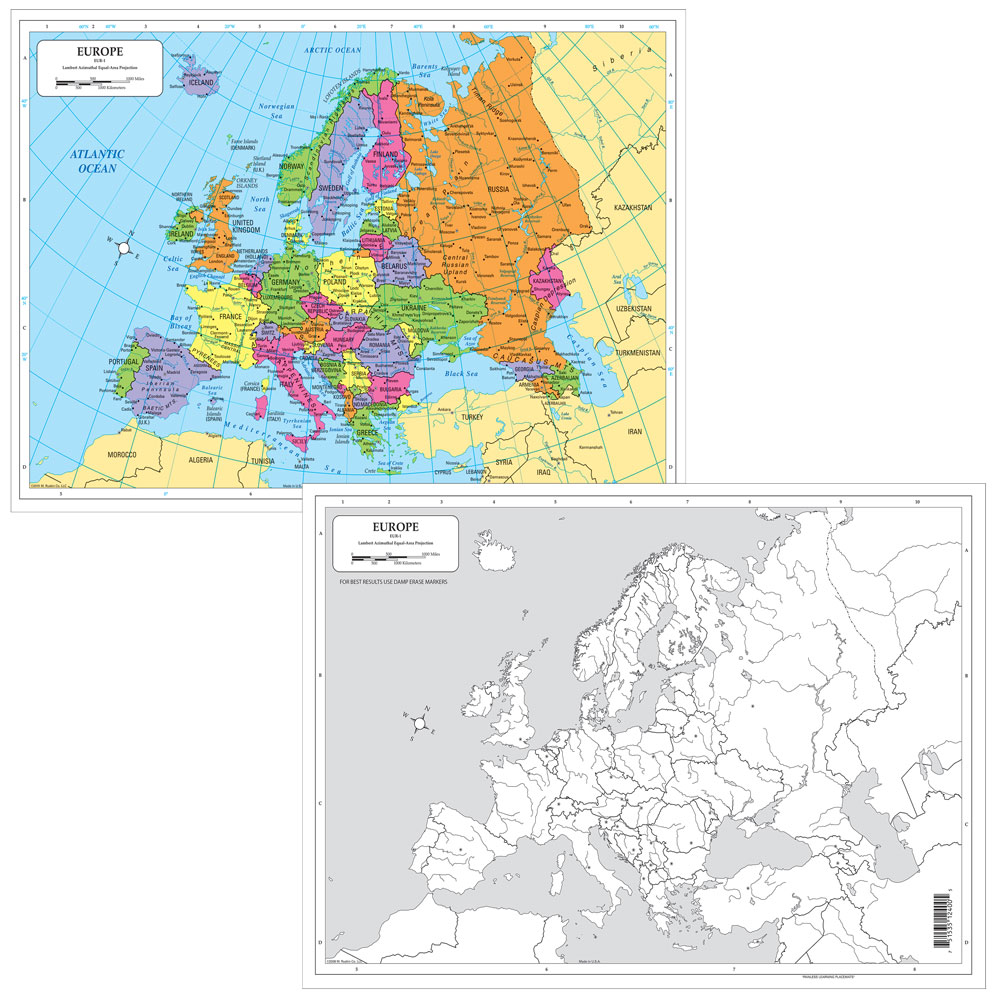
Color in red the countries that identified with the Axis Powers in WWII. Color in blue the countries that identified with the Allied Powers./em Instruct students to identify and label locations on a map, then erase and repeat! Dry-erase desk maps make any mapping activity easy and efficient with a double-sided political map and a blank outline map.Copyright 2008. All levels. 17 x 12 inches. Laminated.


